Upstream Carbon’s new Quality Advisory Board held its first session on remote sensing of forest carbon. Members from Kita, Isometric, ACR, EldHollow, and NCX weighed accuracy against cost for small family forests. Remote sensing must be carefully balanced with field measurement given within-site inaccuracies of remote sensing models. In this post, we outline the planned path for Upstream Carbon's project given remote sensing model performance and the advisory board's insight.
Maximize and Verify ImpactIn September 2026, Upstream Carbon assembled a Quality Advisory Board to guide how we implement projects to fund and safeguard at-risk American forests. Our board convenes several times a year, with each session focused on a specific topic. Our inaugural meeting focused on perhaps the most prominent topic for a forest carbon project developer: estimating forest carbon from your desk, or in other words, Remote Sensing.
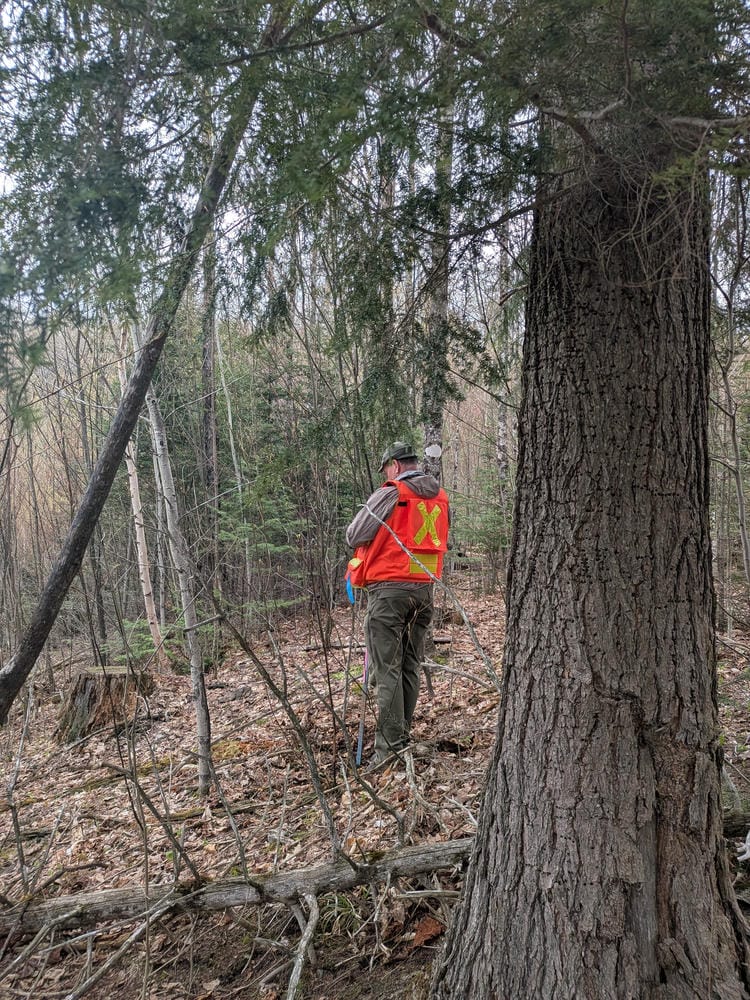
Traditionally, forest carbon is estimated when a forester visits a woodland and conducts an inventory of the trees. This inventory, called a cruise, traditionally consists of selecting a handful of points (plots) where the forester records each tree's species and diameter at breast height (DBH) using a diameter tape or Biltmore stick, measures height with a clinometer, and may use a prism to select which trees to tally. The carbon in each tree is then calculated using an allometric equation, usually either the Jenkins equations, the Component Ratio Method, or the USFS National Scale Volume and Biomass (NSVB), which estimate total aboveground biomass. Dry biomass - like kiln-dried firewood for your campfire or wood-burning stove - is roughly 50% carbon.
Cruises, which can range from a quick timber cruise to a time-intensive carbon cruise, are expensive. A forester bills not only for the hours or days spent plotting, but also for travel to and from the site and for walking difficult terrain between plot points. One way to reduce costs and route more carbon funds to landowners is to use local foresters for timber cruises rather than using specialized foresters from further away for carbon cruises. However, even the cheapest timber cruise can become cost prohibitive across dozens of small sites. Doing a timber cruise on each project site once every 5 years would cost at least $6 per ton over a project's lifetime. With a project priced at $50 per ton, 12% of the carbon price would go to field measuring an established forest- money that the forest landowner never sees. As a project shifts field validation to a more efficient model calibration role, the lower costs can either:
Since 100% field validation is cost-prohibitive, we discussed a rotating sampling method to strike the right balance between cost and measurement. For the pilot, our approach will have all sites receive an onboarding timber cruise - as part of the conservation management planning process. Afterward, 10% of enrolled sites will receive a timber cruise each year, while the remaining enrolled sites will be monitored using 30-meter satellite remote sensing models. A baseline of unenrolled sites with similar risk exposure will be monitored using the same 30-meter models. The rotating sampling approach brings measurement costs to $3.30/ton over the project lifetime after accounting for current 30-meter remote-sensing prices. In future vintages as remote sensing products continue to improve stand- and pixel-level accuracy, we expect to shift to a remote-first model: Decrease the frequency of cruises conducted on enrolled sites to 5-year cycles covering 10% of the enrolled project area, with the remaining monitoring done with 30-meter remote sensing. The remote-first approach would lower measurement costs to $1.40/ton over the project lifetime. At $50/ton today, that means nearly $45/ton in the future - a 10% price drop.

The promise of remote sensing is using satellites (or drones and planes) equipped with lidar and spectral sensors to get a "good enough" estimate of forest carbon at a fraction of the cost. Aerial and spaceborne remote sensing is unlikely to replace ground-level cruises, given the detail a ground crew can collect. Instead, field plots shift to calibrating and checking the models. If remote sensing can predict field-sampled forest carbon accurately, then forest carbon measurement becomes easy to scale at the parcel, stand, or even plot level. Our question was: how accurate do remote sensing estimates need to be, and which approach gets us there for a family forest?
We convened our first Advisory Board meeting to help us choose an approach that balanced quality of carbon estimates with feasibility, considering that our average enrolled family forest is 80 acres. Most carbon projects, particularly in the tropics, operate in forests 100 times that size or far larger. In selecting experts for our board, we sought to balance perspectives from foresters who have worked with family landowners, registries that work with dozens or even hundreds of forest carbon project developers, and third parties well versed in rating and ensuring "true tons," meaning that carbon project developers accurately predict their climate impact.
We are pleased to welcome our five Quality Advisory Board members:
We are preparing a manuscript with specific model validation findings for submission alongside the University of Virginia, Harvard Forest, and other experts in forest carbon field measurement.
